|
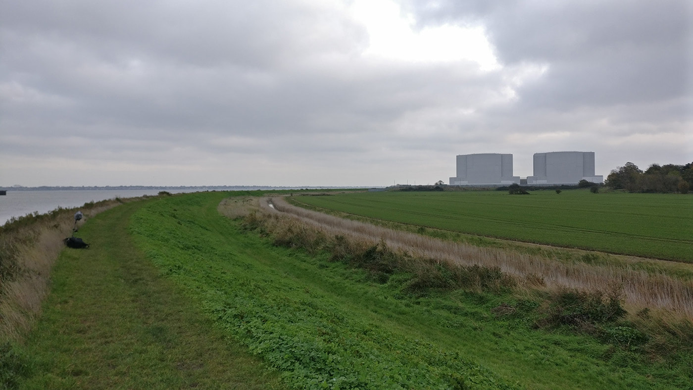
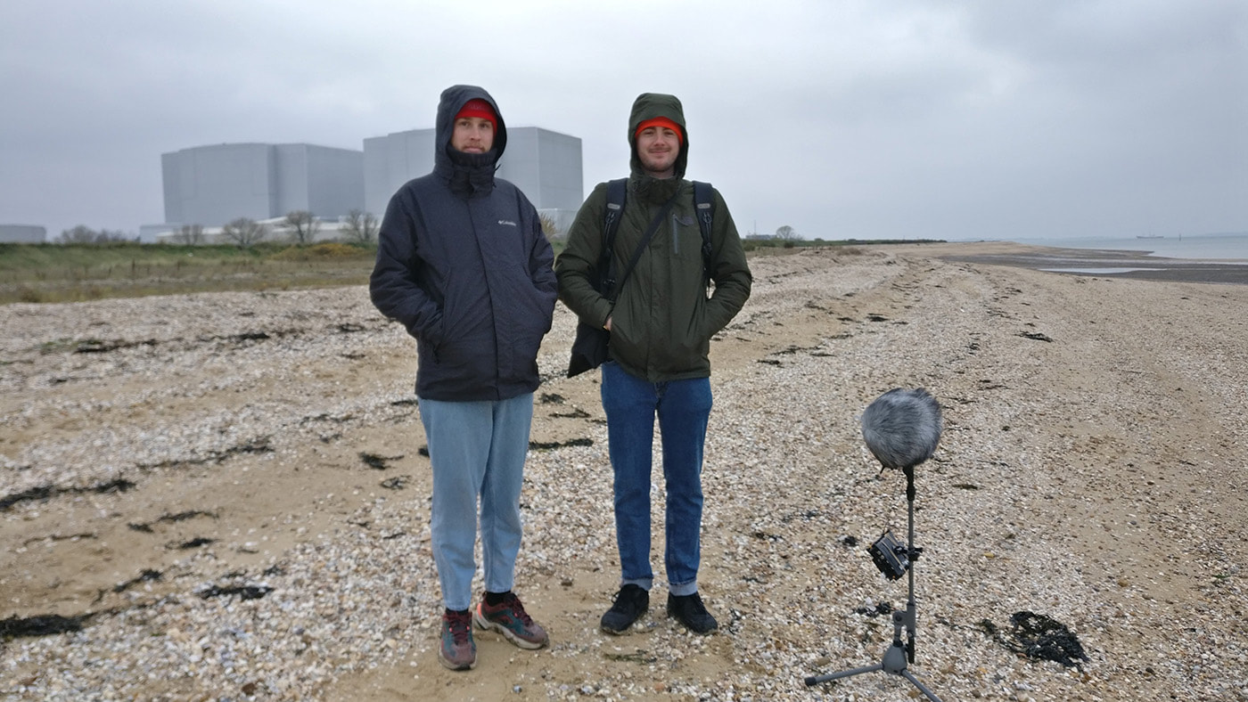
It has been at least five years since I have been out this way and I was looking forward to reacquainting myself with the area. The two large buildings of the (decommissioned) power station looked very different in the light today compared to last week at Goldhanger, but they make a very imposing placemark, navigation aid, on the landscape in any weather. At Bradwell Riverside there were four people looking out to sea, pointing and talking, and they all became very animated and started shouting when a man on ride on lawnmower drove in to something. Other than that, it was very quiet and I set out along the sea wall towards the power station, glad to have brought a scarf and gloves as the wind was brisk and crisp.
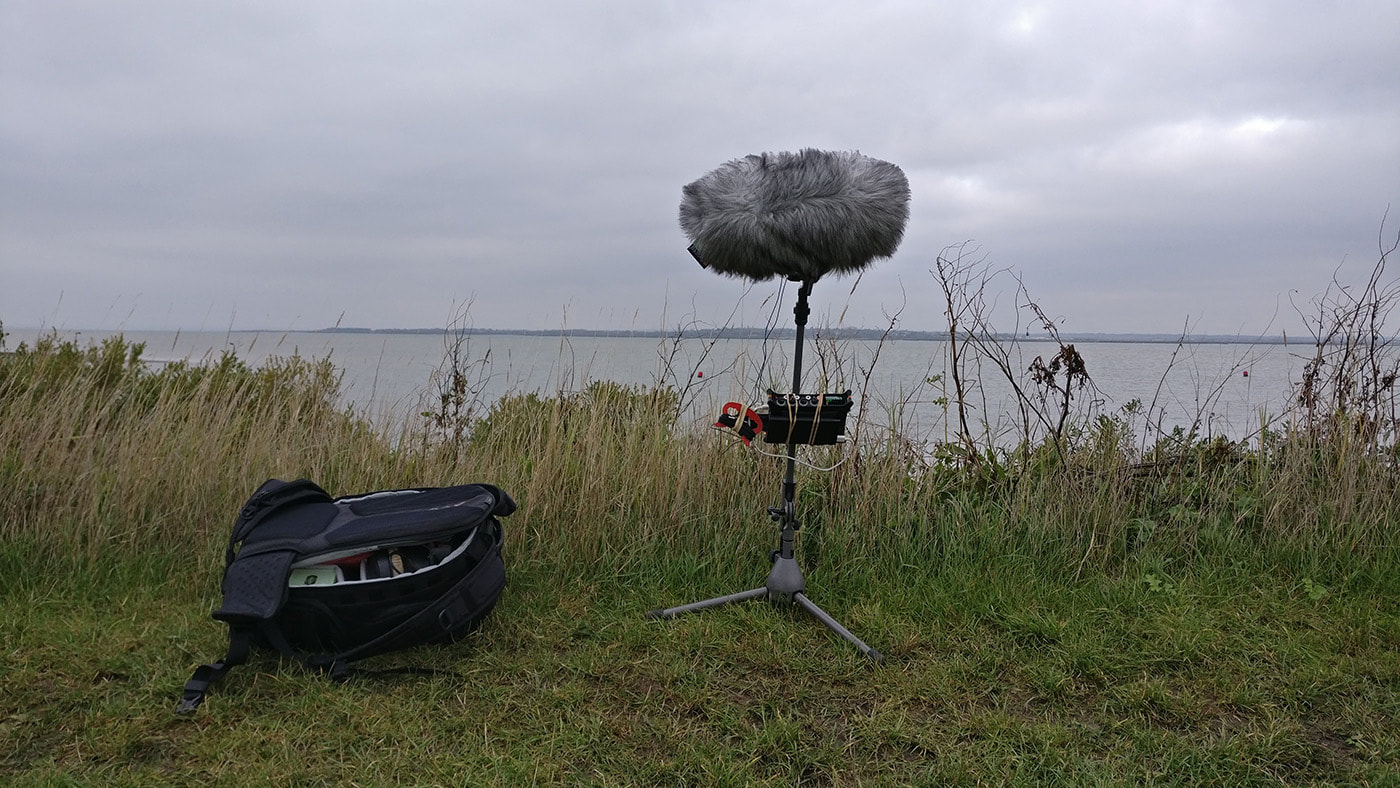
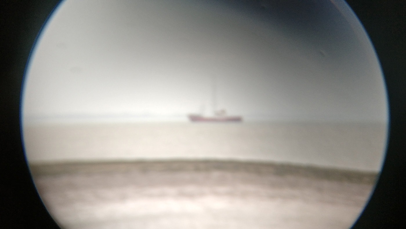
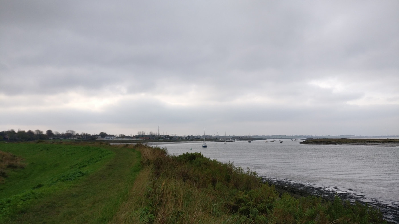
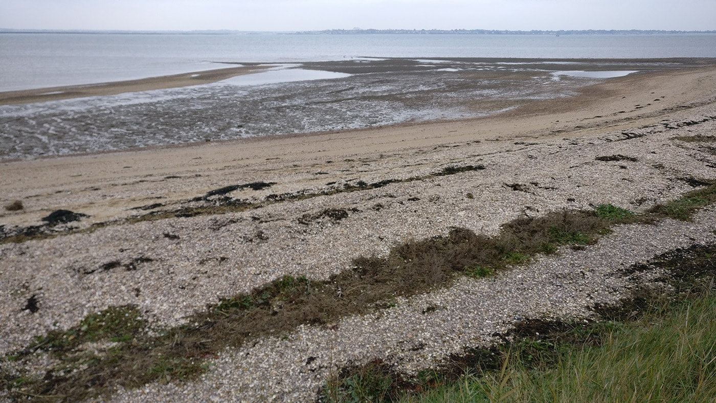
I set up near the Down Hall Farm Sluice, a short way from where Baker has a point marked on one of his maps (University of Essex Archive Ref:C3), opposite Pewet Island and next to the channel separating it from the mainland. There were several wading birds on the island and a couple of cormorants drying themselves in the cold breeze. I did remember to bring some binoculars, which were lent to me by painter Ruth Philo. They were her father’s, originally bought in the 1960’s, so a slight connection to Baker’s time. I have seen his selection of optics in the University Archive, and even looked through his binoculars, even if only out of the university window. Ruth’s will certainly make a difference to spotting and identifying birds out in the landscape and I was even able to get a closer look at the Radio Caroline ship out in the estuary. I saw several Common Gulls, Brent Geese and Cormorants and also heard a pheasant and the aforementioned lawnmower running over something, which seemed to be par for the course given his previous. I was a bit restless, knowing I was meeting someone soon, and couldn’t really settle in to the location as I had the week before, so I might rethink how I approach the days where I am walking with someone. But as the hour progressed the wind seemed to become more insistent and the tide continued to receed revealing more of Pewet Island. A couple of withies stick out from the mud, a wonky vertical to the horizontal of the water, sea wall and horizon. I found it frustrating not to be able to identify the different wading birds … more work needs to be done here. The time counted down slowly, with every gust. At 58 minutes, my mobile phone rang (but was on silent mode, naturally), it was one of the artists I was going to meet but I let it ring off as even though I was 30 feet away I didn’t want to record myself. On the hour I stopped recording and phoned him back, and agreed to meet at the junction of the two footpaths by the power station. It was good to see James Ravinet and Warren Harper as I had only seen them occasionally since moving north over a year ago, and I also wanted to talk to them about their work around Bradwell and on the Dengie peninsula, much of it being on their Institute for the Recognition of Peripheral Interests site. Whilst we were chatting Warren saw a bird of prey hovering about 15 feet above the sea wall, but it flew away across the field before we could look at it through our binoculars. It was exciting to know that there were birds of prey out here, especially as I had seen a tweet a few weeks ago about Peregrines nesting on top of the power station buildings. A few minutes later he spotted two birds of prey flying above the reactor buildings. They were gliding into the wind in order to hover in a reasonably stable position relative to the ground, which gave us time to look at them through the binoculars and positively identify them as Peregrine Falcons! I specifically looked at one falcon and could clearly see its ‘badger’ like markings, as described by Baker, meaning that this was the tiercel (male), and the other the falcon. As it turned slightly in the wind I could see the outline of its shape was also what I had recognised from other photographs…what a great moment! It was at this point that the security cameras on the power station that had been watching us standing and chatting started to flash at us, as if they thought we were looking at them through the binoculars, so we gave them a wave and started to walk off along the sea wall. A local man walking his dog, the first of today, approached us on the beach to ask what we were doing. ‘Are you surveying the sound?’ he said. He seemed disappointed when I said I was recording birds, and said that he saw peregrines all of the time as if they sparrows. Interestingly for James and Warren he’d worked at the power station when it was operational so we had a bit of a chat before his dog instructed him it wanted to go for a run. With a combination of the relentless cold south east wind in our faces, and breathing in chemicals being sprayed onto a nearby field, we decided to leave the beach and head back to their car, looking at all of the power station defences, whilst the cameras followed us too.
They kindly dropped me back at my car and I drove to St Lawrence in order to visit another point on the map, but after walking a fair way along the sea wall I realised that the contours of the land were different to that on the map. However it was a photograph of a map from 1945, so it was possible things could have changed, but not that much. Upon closer inspection, and comparison to a modern map, I realised that I had driven down the incorrect road to the river. So I walked back to the car and drove back to the main road, then headed east again hoping to turn left in a short while. But the road I was looking for didn’t materialise and I ended up nearly back in Bradwell. So I drove west again and still couldn’t find a road, or even a trace of an old road by a line of trees or something. If I was on a bicycle like Baker I would have been able to scrutinise the landscape in more detail, but as it was I thought I’d leave it and come back after a bit more research.
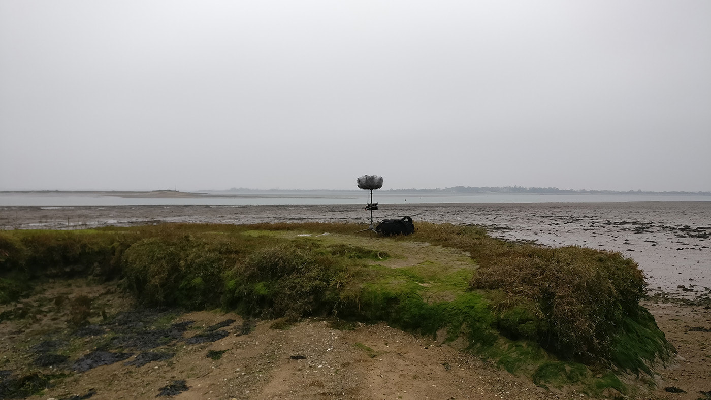
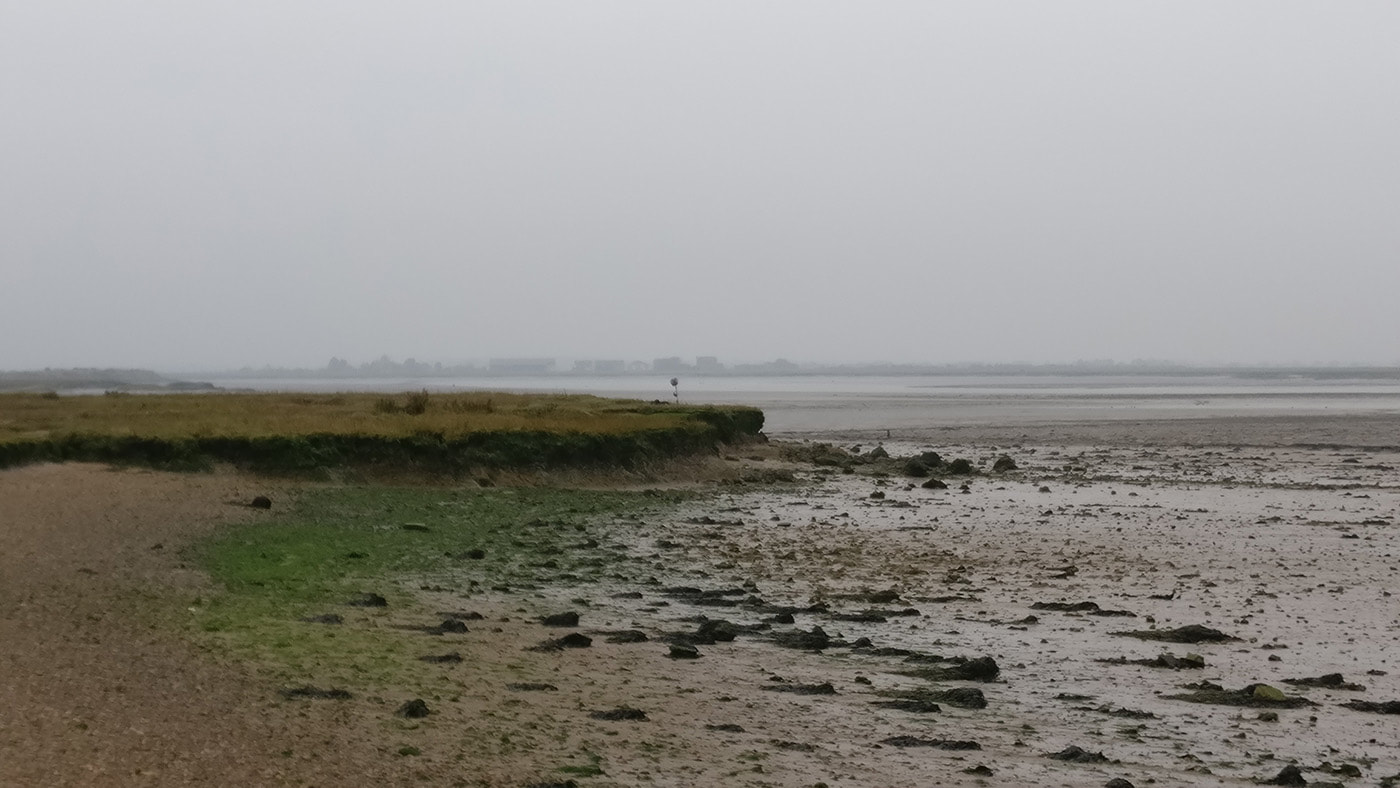
There are however more locations on the river to visit so I headed towards Steeple, and more precisely, Steeple Bay caravan park, which wasn’t there in Baker’s time but does now occupy land towards Mayland Creek where a location had been recorded. I drove past the ‘Trespassers Will Be Prosecuted’ sign and through most of the site until I reached a car park that I had spotted a few days earlier on Google Earth satellite imagery. There was no one around but a few vehicles parked so I left my car there and walked to the river. The weather was closing in a bit but it was not raining so I walked out to the further most piece of salt marsh and set my tripod and recorder up there. I retreated a fair way along the sea wall, or what was left of it, 50 meters or so, and huddled down beside some bushes, but keeping the kit in view. From this point I could see the opposite bank of Lawling Creek and Osea Island, somewhere that has long been on my list of places to visit. An hour went very slowly as my mind was being interrupted by thoughts of meetings and travel between sites, and was ultimately less immersive. But I did start to observe the sights and sounds, including three juvenile ducks in flight, an egret, some dunlin, a flock of lazy flying birds (*edit, later identified as Lapwing), some broken glass on the beach, no dog walkers and a distant murmuration of a flock of birds across the muddy river banks. It was always going to be hard to reach the giddy heights of this morning’s sightings of Peregrines but nevertheless I enjoyed being out in the cold damp air, watching, listening, absorbing and writing.
0 Comments
Leave a Reply. |
Details
AuthorInspired by J A Baker's The Peregrine, recording the sonic landscape around the River Blackwater, Essex. Funded by Arts Council England's Develop Your Creative Practice grant 2019 - 2020. Archives
December 2023
Categories |
 RSS Feed
